-
Your shopping cart is empty!
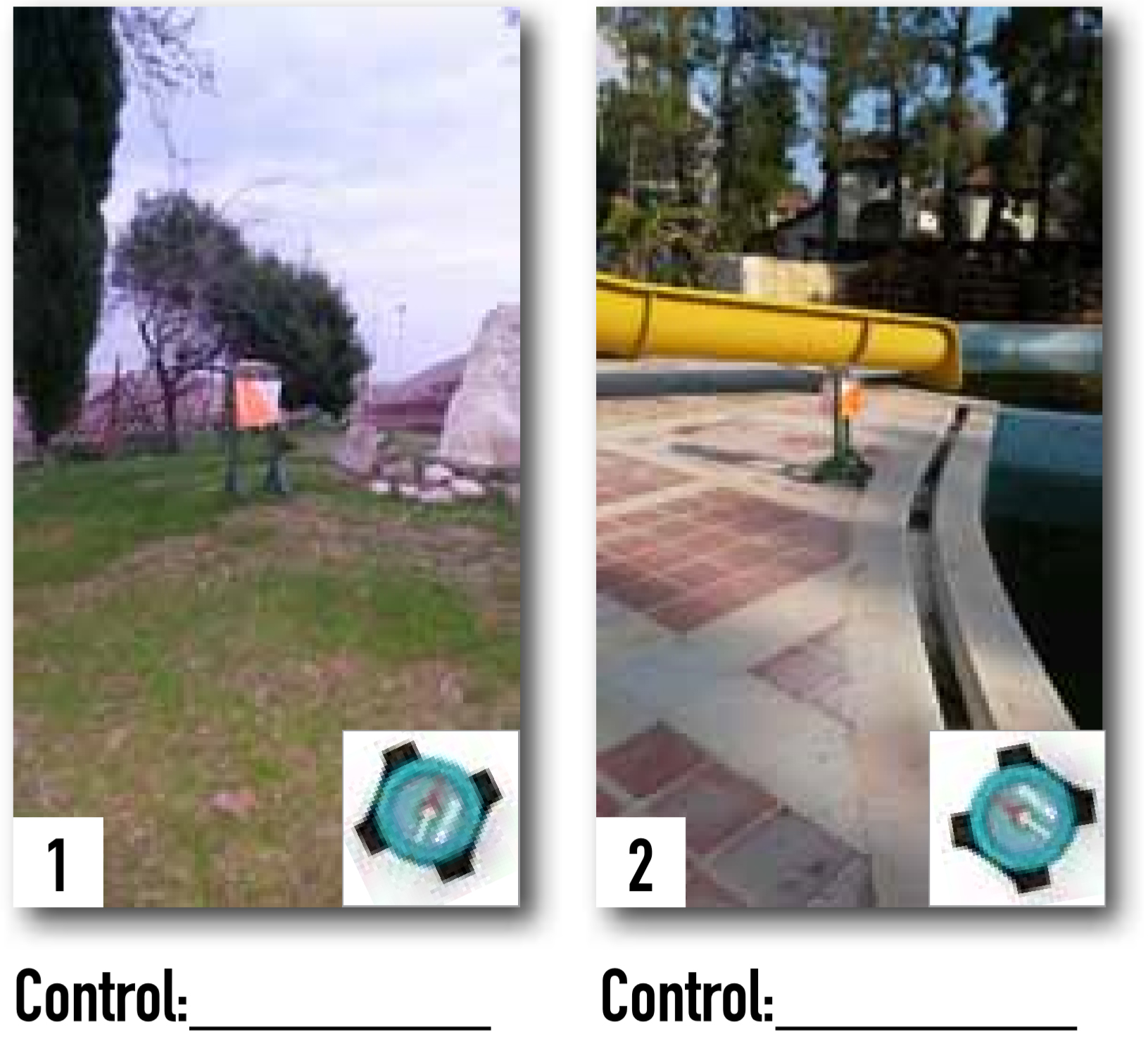
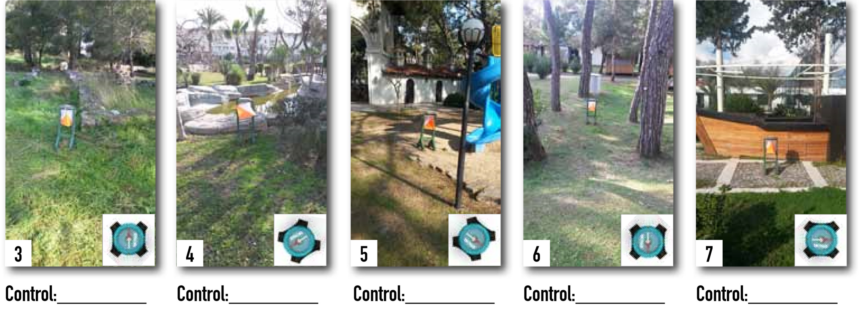
The following images are photographed at the World Cup during the first WC sprint relay 2014 in Turkey. Put photos of the terrain together with the correct controls on the map below. To make this exercise more challenging, I have just picked seven of the 16 controls. The compass shows how the image is orientated to reality, for example, the image 1 is photographed in the direction of northwest.
You will find the correct answers on page 57.


