-
Your shopping cart is empty!
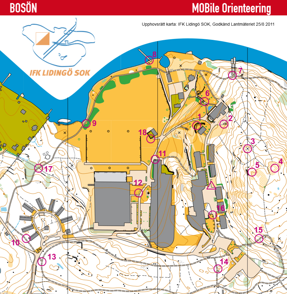
Permanent orienteering courses can be useful to get more spontaneous use of maps. Photoorienteering in different ways usually work very well. Bosön IFHS is an example of how to use the map as a traditional paper map or downloaded in the phone via the MOBO application. The start of the MOBO (Mobile Orienteering) is outside the reception. Each checkpoint (total 18 pcs, 2 shown here) is marked as the picture to the right (number 1-18). With MOBO app you are also allowed to “punch” at each checkpoint with the phone (via barcode scanning). The app is free of charge and works for Android, Apple and Windows. You can also download maps to your phone or tablet from the website www.boson.nu.

1 THE HEADMATSER’S HOUSE
The view from the terrace of the headmaster’s house over Askrikefjärden is adorable. Previous Bosön’s principals stayed here but today the villa converted into a kitchen so our guests can enjoy homecooked banquets.
6 THE HOUSE OF CHAMPIONS
1924 Paul U Bergström (PUB) moved to Bosön and built “the house of champions”. 1938 the Swedish Sports Confederation (RF) bought the property and the year after the first sport’s conference was held at Bosön as 10-days education for 25 cyclists.
With the help of solid controls and permanent courses you can carry out activities whenever you want. At Bosön Sports High School we have created four permanent courses using 18 controls. ”History Tour”, “Walk and Talk”, “Active Rehab Tour” (wheelchair friendly path) and “Trail Running” (see map ).

”Trail running” is a simple orienteering course along the handrails (tracks and paths) with some tough hills. The course has 12 checkpoints (controls) and is about 2.5 km long. ”History Tour” is a very good option to get to know their surroundings when you start at a new school. You will quickly learn the most important things about the school’s history and its present, while being provided with a good knowledge of the school’s premises and surroundings.

