-
Your shopping cart is empty!
MAP AND COMPASS are closely interconnected when you navigate in forest or cities. To learn orienteering and at the same time achieve the requirements that the National Agency for Education is setting by the curriculum, each school requires teaching materials to implement a relevant education.
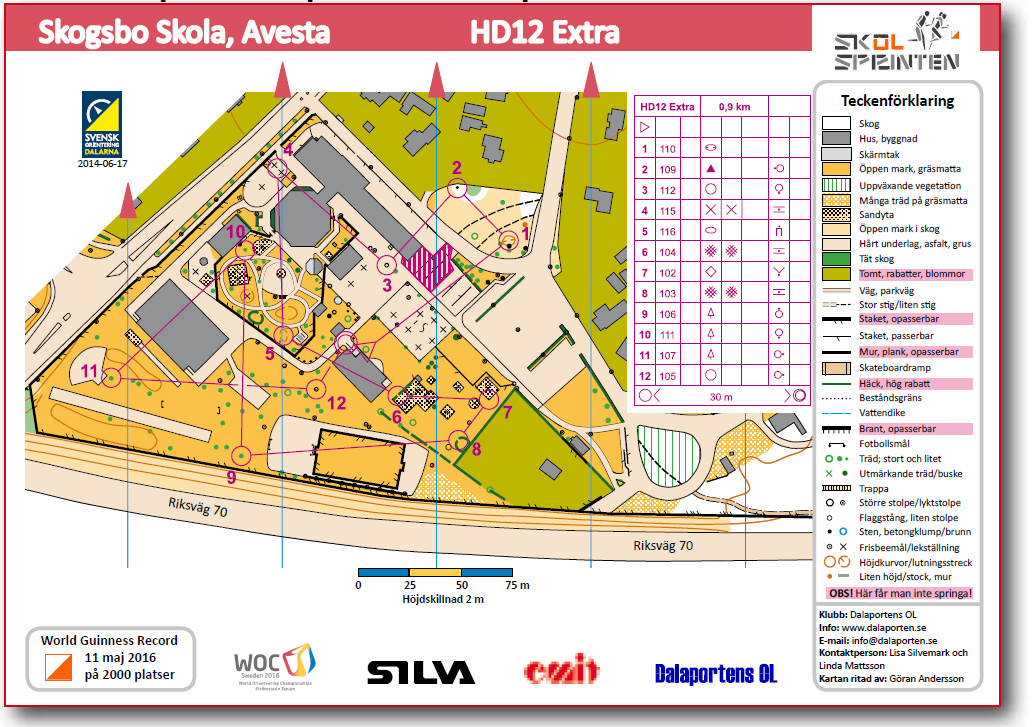
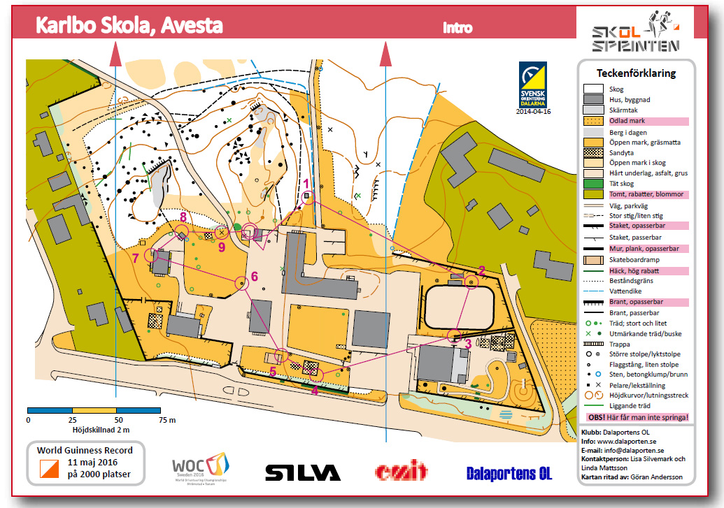
THE INTENTION of the project ”Skol-Sprinten” and this guideline is to show how to create great conditions for an education in orienteering that the students perceived as ”cool, awesome and educational.” The main thread has always been that students should experience joy when they perform orienteering ”for real”, with a colourful map conforming to reality, a cool compass and an electronic punching system.
IN CONJUNCTION with Silva Sweden AB and EMIT AS as collaborative partners, Dalaportens OL and sixteen schools in Dalarna, we have created a concept that is very attractive for education in schools. The response has been fantastic both from students, teachers and not least school leaders.

COLLABORATION WITH THE LOCAL orienteering club provides great opportunities to apply for financial support from the ”Sport Foundation” especially be able to draw a map of the school grounds. Furthermore, each school and municipality must prioritise its budget and set aside money annually for mapping of schools. A municipality in Stockholm has an ongoing contract with an orienteering club to ensure that school maps are drawn and that the maps are updated annually.
IF YOU WANT some more information about: help on submitting an application, implementation of mapping or own exercises for education, please contact Göran Andersson ( www.byorienteering.se ).


