Orienteering at school for ages 6-12: CONTENTS

Posted by admin 04. Sep 2018 0 Comments Book: COOL, AWESOME and EDUCATIONAL! part 1 (by Göran Andersson),

COOL, AWESOME and EDUCATIONAL ! Part1 (by Göran Andersson )


CONTENTS

Chapter 4: Guinness World Record
Chapter 5: Orienteering is easy!
Chapter 6: Cool, awesome and educational!
Chapter 7: The project ”Skol-Sprinten”
Chapter 8: What is a map?
Chapter 9: We are approaching the earth!
Chapter 10: The map’s colours
Chapter 11: The map’s symbols
Chapter 12: Learning orienteering
Chapter 13: Steps of development
Chapter 14: Red to Red!
Chapter 15: Orientate the map!


Exercises ”Orientate the map”

Chapter 16-17: Line-O indoor multigym
Chapter 18: Line-O outdoor
Chapter 19: Star-O, one control outdoor
Chapter 20: Photo orienteering
Chapter 21: Star-O, three controls

Chapter 22: Poker-O & FOX

Chapter 23: One man relay


Chapter 24: Assessment Year 6
Chapter 25: Implementation
Chapter 26: How can the school get help?


APPENDIX

Practical exercises 

Orientate the map, chessboard

Orientate the map, multi-gym


Theoretical exercises 

Map’s colors 

Map’s symbols


Red to Red 

Map to Map


Find five faults 

Five symbols have disappeared

Five symbols have been added 

Five symbols have been enlarged


Correct answers to the exercises


-------------------------------------------------------------------------

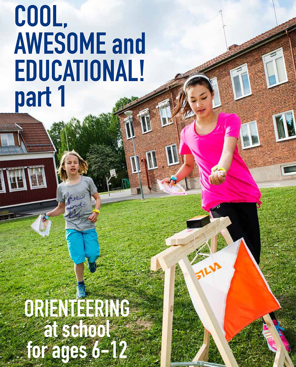
Idea, text och layout: Göran Andersson
Cover photo: Ulf Palm
Photos: Ulf Palm, Göran Andersson, Nderim Rexhepi, Mårten Lång,
Martin Bergling
Maps: Dalaportens OL, Stora Tuna OK, Kvarnsvedens GoIF, Säterbygdens
OK, Lantmäteriet Metria, Google Earth, Eniro Sweden and the
Turkish Orienteering Federation
Production: Silva Sweden AB, Box 85, 161 26 Bromma;
Version 1, januari 2015
Copyright ©: Göran Andersson

Leave a Comment